Local Column
COLUMN
10 Remote Islands in the Yaeyama Archipelago
Table of Contents
What are the Yaeyama Islands?
Hello everyone!
What kind of image do you have of the Yaeyama Islands?
Many of you may have seen it on a TV travel show, but do not remember much about it.
Ishigaki Island and Iriomote Island are not often heard of.
Both are located in the Yaeyama Islands.
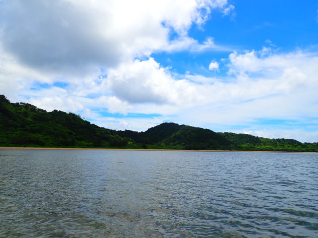
As represented by these islands, the Yaeyama Islands are rich in nature.
In addition to Ishigaki and Iriomote Islands, there are many other unique islands to check out!
In this issue, we will take an in-depth look at the Yaeyama Islands.
You will surely want to visit all of these islands.
About the Yaeyama Islands
The Yaeyama Islands are Japan's most southwestern islands, consisting of 12 inhabited islands and uninhabited islands such as the Senkaku Islands.
Even Ishigaki Island, the closest of the Yaeyama Islands to Okinawa, is more than 400 km from the main island of Okinawa and has a unique cultural and natural environment.
In terms of address, it consists of one city and two towns: Ishigaki City, Yaeyama County Taketomi Town, and Yonaguni Town, Okinawa Prefecture.
In terms of inhabited islands, Ishigaki Island and Yonaguni Island belong to Ishigaki City and Yonaguni Town, respectively, while the other 10 islands including Iriomote Island are all in Taketomi Town.
In terms of population, Iriomote Island (about 2,500) is larger than Yonaguni Island (about 1,700), but it is interesting that Iriomote Island is lumped together with the surrounding small islands.
Iriomote and Ishigaki are the only two islands with an area of more than 100 km2, and these two islands are the center of tourism in the Yaeyama Islands.
The other islands were formed by coral uplift and have no high mountains.
Many of the islands are so small that you can cycle around them.
Recently, small islands other than Iriomote and Ishigaki have become better known and more popular for tourism.
The Yaeyama Islands have a subtropical climate.
In terms of temperature, Ishigaki Island has a warmer climate than the main island of Okinawa, with an average value of about 24°C and humidity of 77.0%.
The Yaeyama Islands are warm all year round due to the influence of the Kuroshio Current that flows around the islands.
The average annual precipitation on Ishigaki Island is 1300.5 millimeters, concentrated especially in the rainy season, typhoons, and squalls during the summer months.
Omotodake, the highest peak in Okinawa Prefecture, on Ishigaki Island, and Komi-dake on Iriomote Island, both about 500 m above sea level, and rivers are well developed on these islands.
As a result, the mountains are covered with shrubby forests and trees such as the Okinawa white oak.
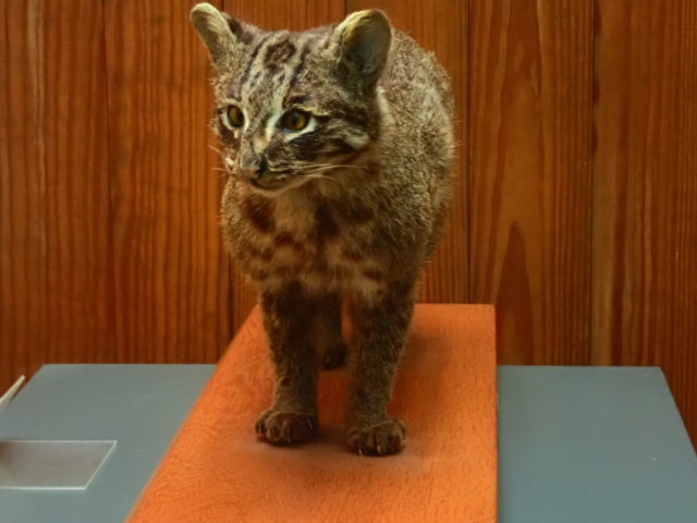
Another unique feature of this area is that it also retains much of its natural habitat, which is home to precious creatures such as crested serpent eagles, saxifrage humpbacks, prickly eagles, and honeycreeper warblers.
Many of you may know the Iriomote wildcat.
There are also many mangrove forests along the sea, some of which are endemic, such as mayabushiki.
You will not be able to experience the relaxing island time and beautiful tropical scenery unique to Yaeyama unless you visit here.
Remote islands of the Yaeyama Islands
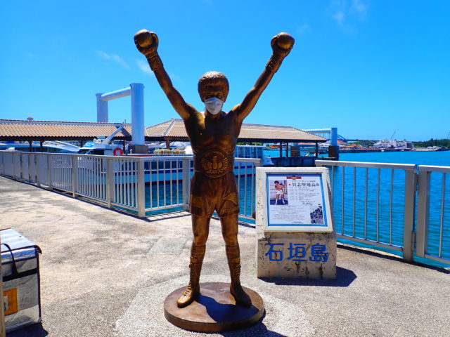
(1) Ishigaki Island
Ishigaki Island is the third largest island in Okinawa Prefecture, after Okinawa Island and Iriomote Island.
The area is 220 km2, which is just about 1/3 the size of Lake Biwa.
The population will be about 50,000.
As the closest island to the main island of Okinawa and the gateway to the Yaeyama Islands, it plays a central role in the economy, administration, and tourism of the entire Yaeyama Islands.
The most common way to get to Ishigaki Island is to fly in from Okinawa, but recently there have been direct flights from Tokyo.
Even from the main island of Okinawa, it takes about one hour by plane.
Ishigaki Island is a town where rich nature unique to the subtropical zone and urban functions coexist.
The adjacent Iriomote Island is home to a number of common and valuable species.
The mangroves at the mouth of the Miyara River, which flows from Omotodake, the highest peak in Okinawa Prefecture, are the largest mangrove forest in Japan.
In addition, the Nagura Ampal, which forms at the mouth of the Nagura River that flows in the western part of the island, is a Ramsar Convention-listed, world-famous wetland.
A sandbar stretches approximately 2 km from north to south along the coast, forming a lagoon.
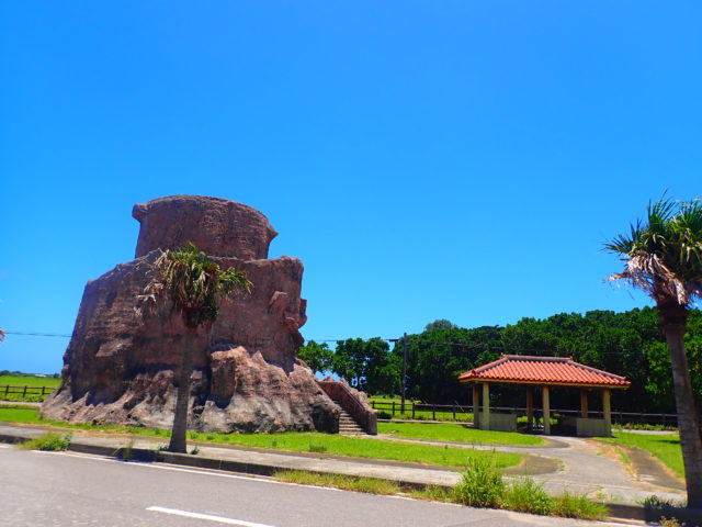
The Yaeyama palm colony in the northern Yonehara is a national natural treasure.
On the coast, coral reefs are widespread, and on the southwestern side of Shihsi lagoon, there are large colonies of blue corals and beach corals.
Kabira Bay in the northwestern part of the island also has a variety of corals due to its fast currents.
Kabira Bay is a tourist destination listed in the Michelin Guide.
Ishigaki Island has many famous diving spots, and was voted the best island for 20 consecutive years by readers of a scuba diving magazine.
The island is also home to one of the world's most famous nantanumanta rays.
(2) Iriomote Island
Iriomote Island is the second largest island after the main island of Okinawa.
It is larger than Ishigaki Island, about 290 km2.
The population is about 2,400.
It takes about 40 minutes from Ishigaki Island by high-speed boat or ferry.
Because the island is so large, there are two routes from Ishigaki Island.
The island was once the site of a malaria outbreak, so it could not be settled and development has been slow.
Development was slow, and as a result, rich nature remains, which is now an asset of the island.
Malaria was eradicated in 1961, so today, of course, you can travel with peace of mind.
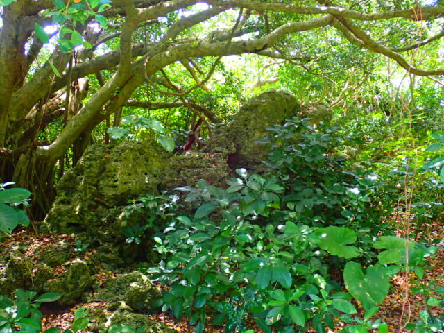
Most of Iriomote Island is covered with virgin tropical and subtropical forests.
The vast jungle is home to rare creatures such as the crested serpent eagle, a special natural treasure, the Iriomote wildcat, the semaru box turtle, a natural treasure, the saxima habu, and the xenohuaye lizard.
The mouths of many rivers, including the Urauchi and Nakama Rivers, which are the longest in the prefecture, are home to seven species of Japanese mangroves.All are distributed in this valuable environment.
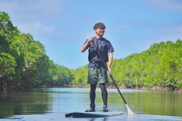
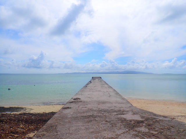
Iriomote Island is a popular island for outdoor activities such as kayaking, snorkeling, and scuba diving.
Jungles, waterfalls, rivers, and mangrove forests make this island's unique natural environment a perfect active spot for eco-tourism.
Taketomi Island
Taketomi Island has a population of about 360 people and is a small island with a circumference of about 9 km, floating offshore about 10 minutes by boat from Ishigaki Island.
Taketomi Island is only a 10-minute high-speed boat ride from Ishigaki Island.
As it is the closest remote island from Ishigaki Island, there are many boat services.
Located in the Ishinishi lagoon area, the largest coral reef in Japan, the entire island is surrounded by coral reefs.
This area is designated as Iriomote Ishigaki National Park and is an important traditional preservation area of Japan.
Popular among tourists for swimming and diving, Kaiji and Kondoi beaches, famous for their star sands, Takidunguchi in the northwest, Simovishi in the southwest, and Taketomi Island South Offshore Reef in the south attract many people.
The island has a "Taketomi Island Charter.
This is an arrangement to preserve the traditional culture of the island.
In accordance with this, building additions and renovations are to be made in the traditional style, and the enclosure of the house is to be made of coral limestone only, etc., in an effort to preserve the unique character of Taketomi Island.
The townscape, where you can see red-tile-roofed houses with shisa in various expressions, is also an important tourist resource that soothes visitors.
Taketomi Island is also known as the "Island of Folk Crafts," with basho, the raw material for basho cloth, and ramie, the raw material for hemp cloth.
It is also the birthplace of Yaeyama mincer.
4) Obama Island
Kohama Island is located in the center of the Yaeyama Islands and is approximately 8 square kilometers in size with a population of about 700 people.
To get to Kohama Island, it takes about 30 minutes from Ishigaki Island by high-speed boat or car ferry.
The island is best known as the setting for the NHK drama "Churasan" that aired in 2001.
There used to be a national historic site, Mt. Taidake in Toomiban, and other historic sites designated by Taketomi Town, but after "Churasan" was aired, the spots for filming have become popular.
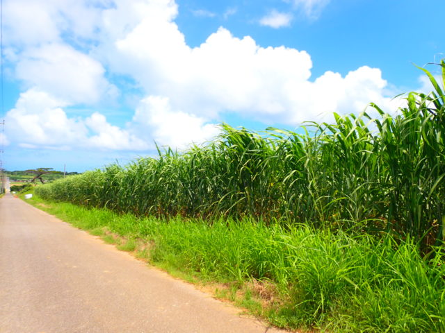
It is especially famous for the rolling hills of sugar cane fields and ranches on Sugar Road, which were used for the school route scene.
Of course, the 360-degree panorama from the top of Mt. Tai is also spectacular, offering views of the beaches of Kohama Island and Tumal Beach on the Ishinagata coast, the emerald green sea and the beautiful islands of Yaeyama.
There are hotels, golf courses, and resort hotels on the island.
(5) Kuroshima
Kuroshima Island has a population of about 200 and an area of about 10 square meters.
Kuroshima Island is about 30 minutes away from Ishigaki Island by high-speed boat or car ferry.
It is also called "Heart Island" because of its heart-shaped shape.
It is also called "Ushijima.
In the past, the island was covered with forests, but after the war, land reclamation projects were carried out and most of the land outside of the villages was cleared for cultivation.
As a result, the number of cows was more than ten times that of the population of about 200, and the island came to be called Ushijima.
These cows also make the island a grazing island, with idyllic pasture landscapes spreading all over the island.
Many of the calves raised on Kuroshima for a year or so are sent to the national brand beef production areas to be fattened up and shipped out as Ishigaki beef and other brand beef.
Nature is also abundant, with Oshima Mado botaru, Saxima habu, and Yaeyama flying foxes living here, and as a natural treasure, the oriental hermit crab lives here.
The island is also famous for its clean air, and its location at the southern tip of Japan makes it a relatively easy spot in Japan to view not only the Southern Cross, but also Canopus, Alpha Centauri, and other stars.
And the sea of Kuroshima, where sea turtles come to lay their eggs, has some of the most beautiful coral reefs in Yaeyama, making it a popular snorkeling point.
6) Hatoma Island
Hatoma Island has a population of about 50 people and an area of less than one square kilometer.
One square kilometer is about the size of the Osaka Castle site.
In Tokyo, the Imperial Palace is 1.4 square kilometers, making it slightly smaller than that.
It floats in the sea 5 km north of Iriomote Island and can be reached by high-speed boat from Iriomote Island or Ishigaki Island.
It is a beautiful small island, famous as a location for the drama "Ruri no Shima.
The drama is based on a true story about the island's only elementary school in the early 1980s, which was in danger of being closed because it had only one student, despite being the only one on the island.
At that time, Mr. Katsu Moriguchi summarized the story of how he protected the elementary school by taking in relatives of island residents and foster children from all over Japan, and published it in a book titled "Child Begging - Years on an Isolated Island in Okinawa.
Based on this, Akira Oze wrote the manga "Hikari no Shima" (Island of Light) and the drama "Ruri no Shima" was produced by Nippon Television Network Corporation, which made it nationally known.
In addition, the theme song for the drama, "Koko ni shimakunakakeru hana," was written by the male duo Kobukuro, who actually visited the island.
Due in part to the airing of "Ruri no Shima," a high-speed boat service was launched in 2006, and the number of tourists visiting Hatoma Island has skyrocketed.
This was a time of great activity as a tourist destination, with accommodations and eateries opening along with it.
The island has a unique and relaxing atmosphere that provides a quiet, peaceful, and healing moment.
Hatoma-bushi, which was born on the island, has become a representative folk song of Okinawa.
(7) Hateruma Island
Hateruma Island has a population of about 500 and an area of about 12 square kilometers.
Twelve square kilometers is about the size of Kadoma or Moriguchi City in Osaka, or Chiyoda Ward in Tokyo.
Hateruma Island takes about one hour by high-speed boat from Ishigaki Island.
This island, whose name is derived from the word for "the end of the end ulma (coral reef)," is the southernmost inhabited island in Japan, as well as the southernmost place in Japan that civilians can visit on a daily basis.
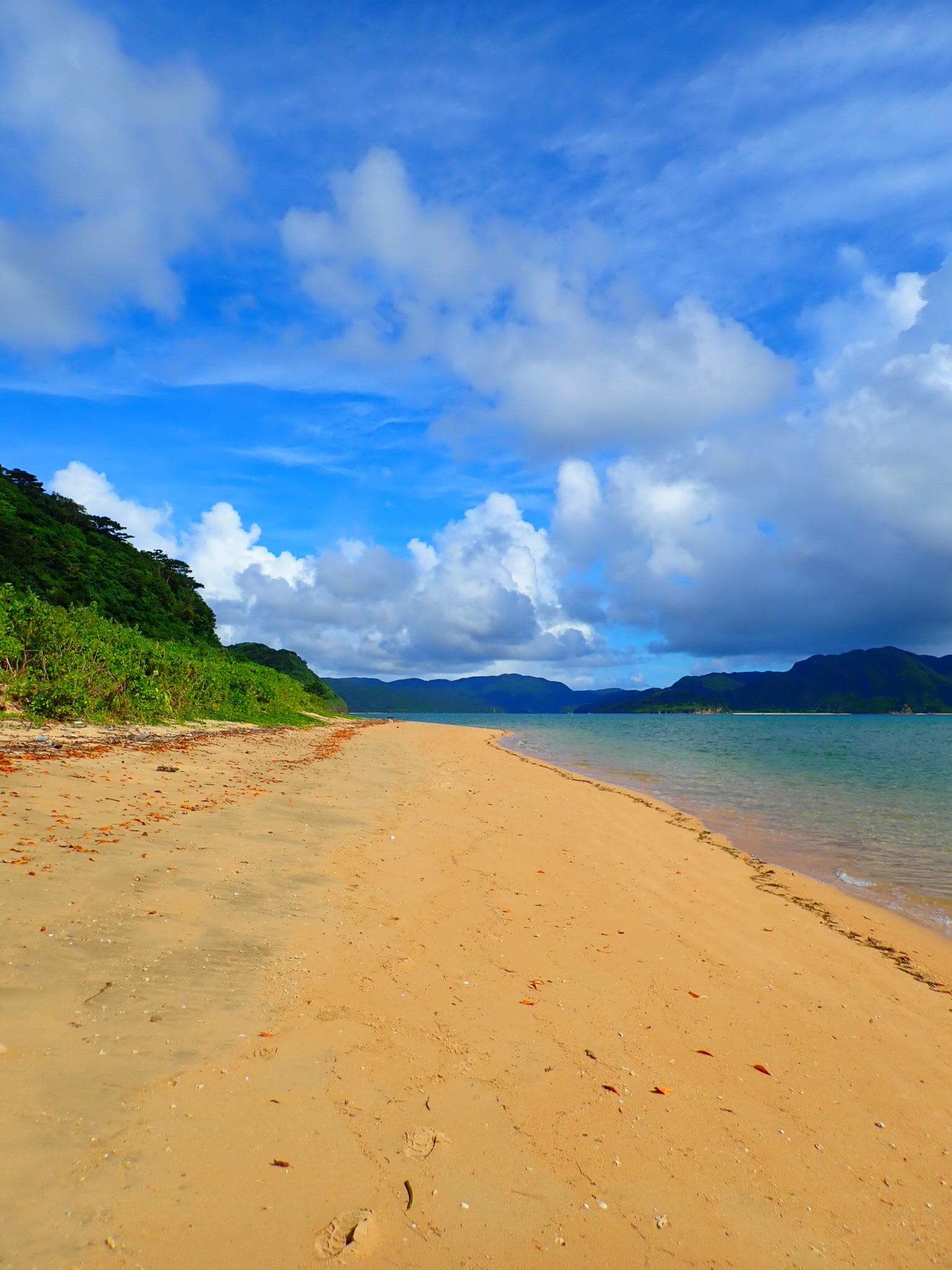
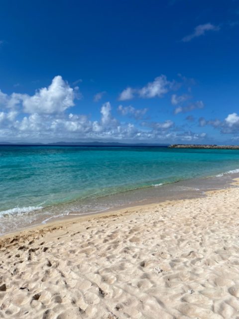
Hateruma's unique blue ocean color is also known as "Hateruma blue," and Kitahama Beach is one of the most beautiful beaches in Yaeyama.
It is interesting that you write Kitahama and read Nishihama.
In addition to the Hateruma blue during the daytime, the green flash, which is sometimes a momentary green glow just before the setting sun, is also talked about as a phenomenon that is rarely seen.
Because of its low latitude, it is one of the few islands where the Southern Cross can be observed under perfect conditions.
In addition, since there are almost no artificial lights in the surrounding area, stars that are difficult to see in the city can be observed with the naked eye.
A stargazing tower stands on the south coast just outside Takanazaki and is a popular tourist spot.
(viii) Shinshirojima
Aragusuku Island consists of two islands, Kamiji and Shimoji.
The name of the island reads "Aragusukushima.
There are no regular boat routes to Aragusuku Island, an island near and far to the south.
Also, it is forbidden to enter the island on your own, so the only way to get there is by snorkeling or other tours from Ishigaki Island.
The two islands are both small, less than two square kilometers in size.
Kamiji Island is a long, narrow island covered mostly by forest, while Shimoji Island is semi-circular.
There is about 400 meters between the two islands, but they are connected by a reef.
It is possible to cross on foot during low tide at high tide.
Cell phones are within range of au and Softbank, but cell phone service is not available except along the coast, so do not go out alone.
The waters of Aragusuku Island, once inhabited by the dugong, the model for mermaids, are fascinating for their clear, beautiful waters. The beaches of Kitanohama are especially beautiful and well worth a visit.
(ix) Yubu Island
Yubu Island is a small island of 0.15 square kilometers, only 500 meters away from Iriomote Island.
The ocean between Iriomote Island and the island is usually only about one meter deep.
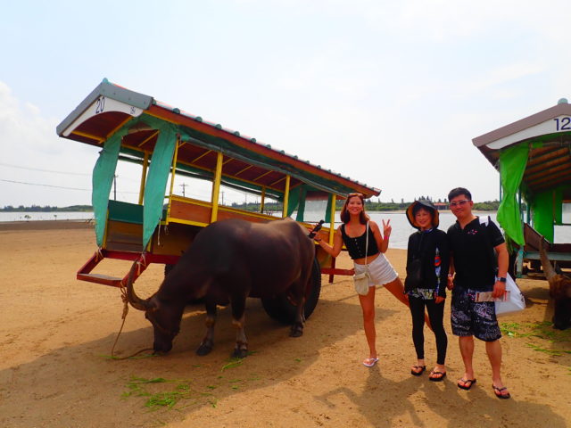
For this reason, buffalo carts are used as a means of transportation for sightseeing and have become a symbol of tourism on the island.
When the water level is low and the waves are calm, such as at low tide, it is possible to cross on foot or by car.
Yubu Island, located just a stone's throw from Iriomote Island, is a small island made entirely of sand deposited by ocean currents.
The entire island is a "subtropical plant paradise.
There is also a cafeteria in the botanical garden.
A leisurely ox cart ride from Iriomote Island to Yubu Island and a stroll through the botanical gardens filled with mangroves and bougainvillea will surely help you to forget the stress of your daily life.
Yonaguni Island
Yonaguni Island is Japan's westernmost border island.
It is actually 2,000 kilometers away from Tokyo.
The distance is not much different from Tokyo to Beijing.
To get to Yonaguni Island, there are air routes from Naha Airport or Shin-Ishigaki Airport.
It takes 1.5 hours from Naha Airport or 40 minutes from Shin-Ishigaki Airport.
You can also go by boat from Ishigaki Island, but it takes 4.5 hours one way.
Taiwan is only 111 km away, and the island of Taiwan can sometimes be seen beyond the sea.
A Coast Guard unit of the Japan Ground Self-Defense Force is deployed on the island, and about 15% of the population is made up of Self-Defense Force personnel and their families.
The island is famous for being the location for the drama "Dr. Coto Clinic.
The set Shikinajima Clinic, where the filming took place, can still be visited.
Yonaguni Island has many diving spots.
Artificial? The Yonaguni Island undersea topography, also known as "undersea ruins," and hammerhead sharks, which can be seen especially in winter, are very popular.
Sphygmy hammerhead sharks, also known as hammerhead sharks, can be encountered swimming in schools of hundreds.
You may also encounter giant whale sharks and Napoleon fish.
On Yonaguni Island, there is a type of sake called hana-shu that is produced only here.
Hana-shu is the same production process as Awamori, but it is a very strong and pure distilled spirit with an alcohol content of 60 degrees Celsius, which is extracted first.
The name "Hana-shu" comes from the fact that in the old days, the degree of awamori was measured by the amount of bubbles that formed in a glass, and the awamori with the highest degree of awamori was the one that looked like a flower had bloomed.
It is produced at three breweries in town, all of which are sold in unique bottles wrapped in billow leaves, which make great souvenirs!
in the end
We introduced the remote islands of the Yaeyama Archipelago.
How was it?
The Yaeyama Islands are located at the southernmost tip of Japan and are full of a tropical atmosphere.
Each island has different characteristics.
Some of you may have visited Ishigaki Island, but not Hateruma Island, for example.
When you visit the Yaeyama Islands, we hope you will visit Ishigaki and Iriomote Islands as well as the surrounding islands.
Thank you for reading to the end.
This article was written by.